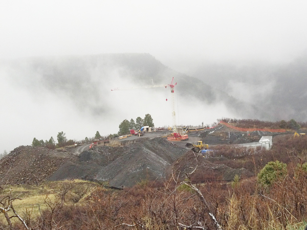
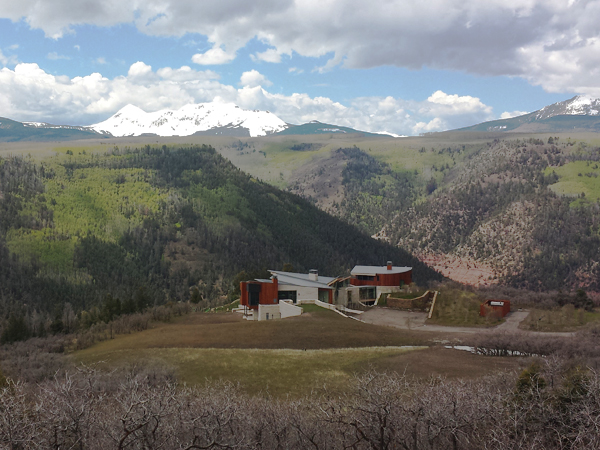
Alpine Land Consulting works with the diverse and complex topography of the Four Corners region to develop efficient site plans. Grading and Site plans begin with a surveyor’s topographic information. Careful design considerations are formulated in order to conform to town, county, or state design requirements, which ultimately improves the project’s approval process. Grading plans are created utilizing AutoCAD Civil 3D software which allows for more precision, efficiency, and better balanced site earthworks.
Alpine Land Consulting also collaborates closely with the design teams’ architect, landscape architect and contractors in order to minimize site disturbance, maximize views, and find the best solutions given any site constraints. Due to rigorous reviews by public agencies and design review boards, Alpine Land Consulting works in partnership with all parties involved to achieve the project vision while addressing all environmental and public concerns.